
United States / Guided product tour
Step 1 of 4
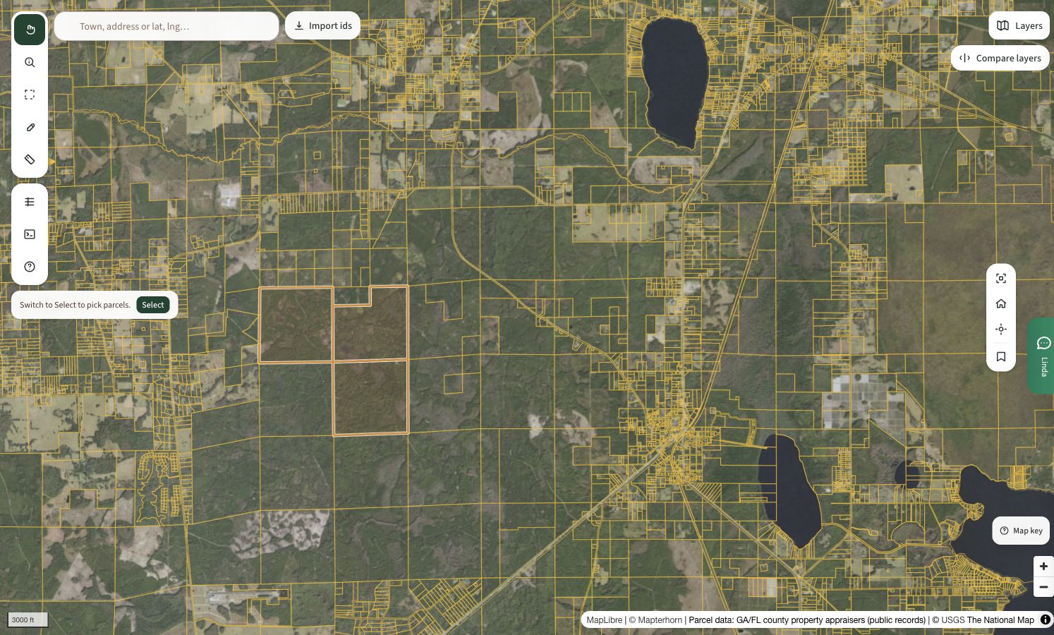
Compare forest volume.
Compare aerial imagery with forest-volume layers to see how the timber pattern varies across the area.
Sources and assumptions
MapLibre · Mapterhorn · GA/FL county property appraisers, public records · USDA / USGS The National Map. Parcels shown here are reference parcels, not verified sale listings.
What does this help you decide?